1.1. Location Map#
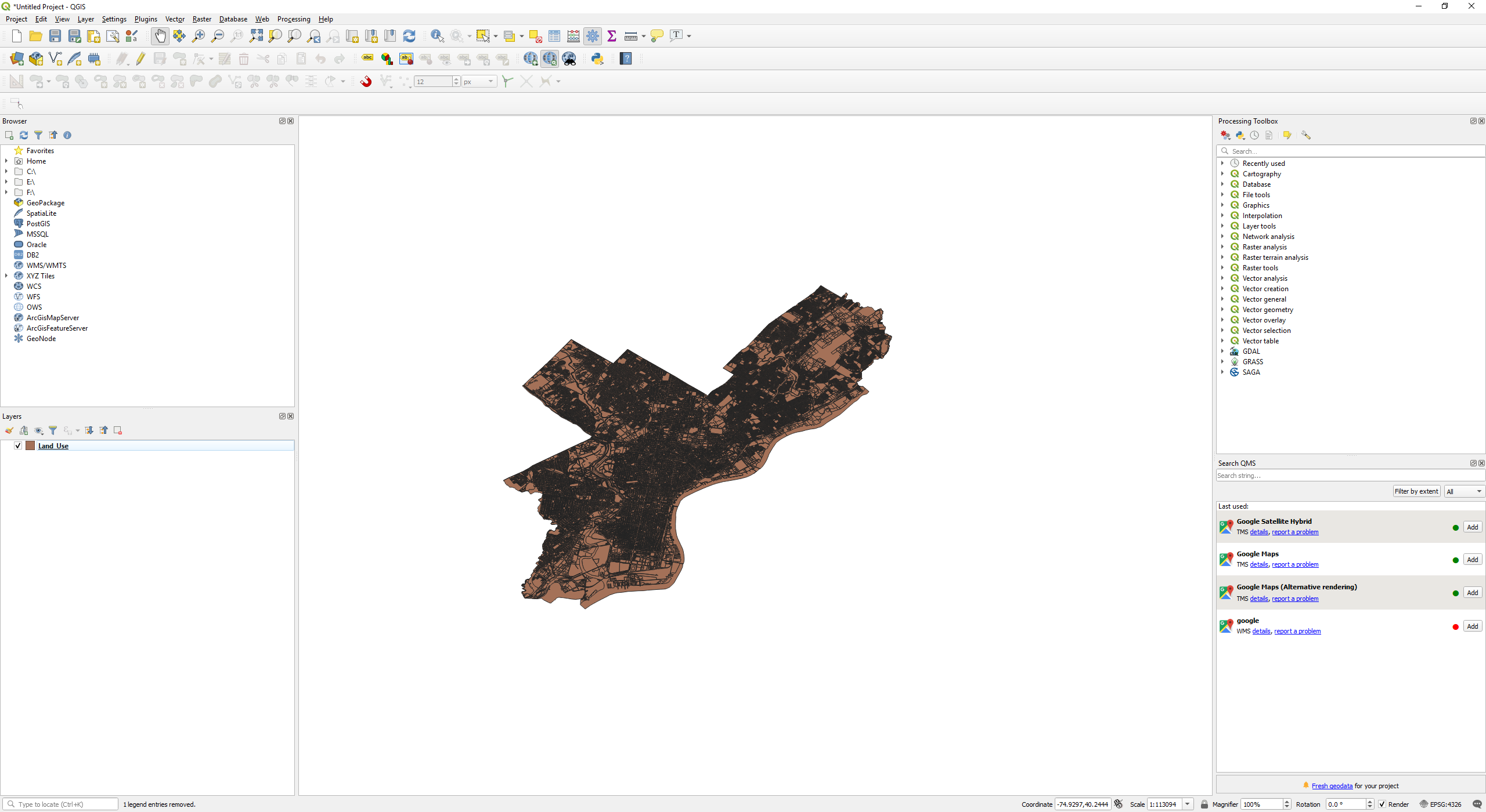
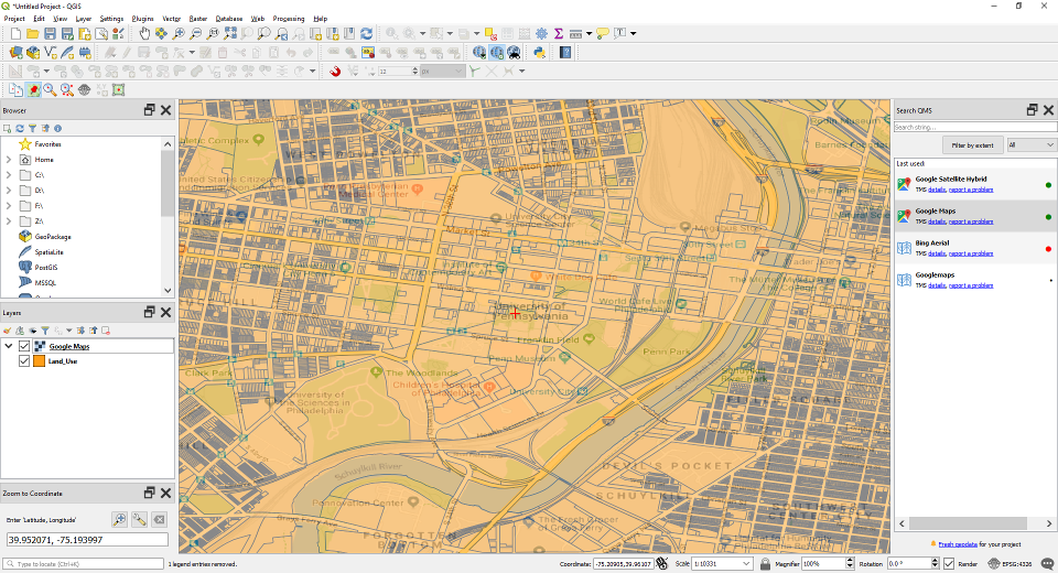
Search for open geospatial data of Philadelphia (Obtain Philadelphia Land Use). Then import the obtained shapefile into QGIS (Import Vector Layers into QGIS).
Load Google Map as base map (Loading Google Map as Base Map).
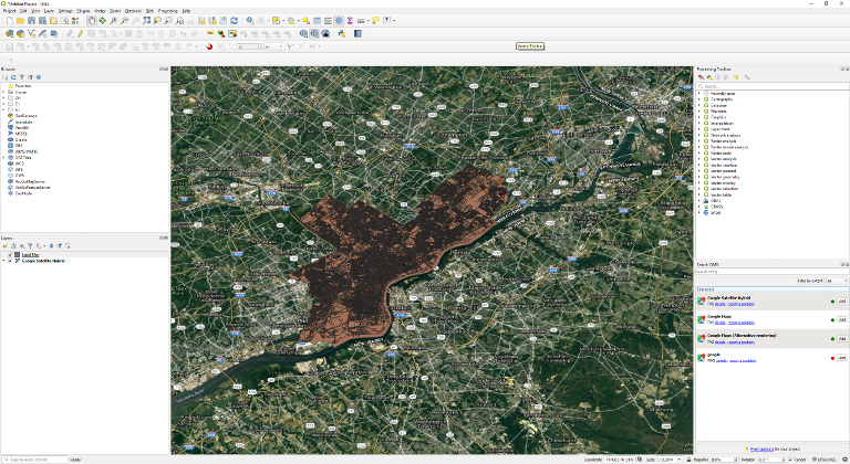
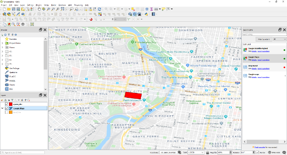
Zoom to UPenn (Zoom to Specific Lat/Lon) our site of interest.
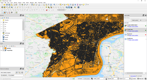
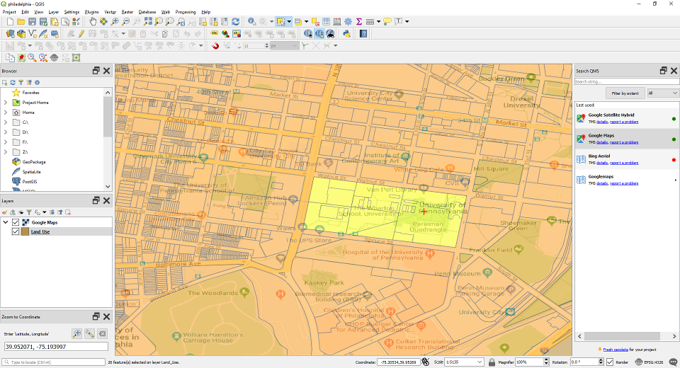
Drag the Google Maps layer on top of the Land_Use layer. Change the transparency of the Google Map layer (Adjust Transparency of Google Map Layer) so that you can see the land use division of the UPenn.
Select the plots shown below and merge all those plots together. This is the site of our interest. Merge this plots together as shown in (Merge Multiple Features Using Dissolve).
The merged site. Saved the Dissolved layer as a new file (Save a Feature Layer). Change the colour of the site to red (Change the Colour and Opacity of a Polygon Feature Layer). Turn off the Google Map layer.
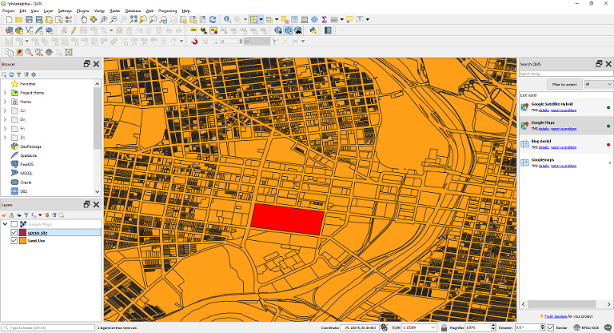
Turn off the Land Use layer, and turn on the Google Map layer and drag it below the merged site layer. We have our location plan. Export the map as an image (Export Map as Image).