1.8. Search for Building Footprint#
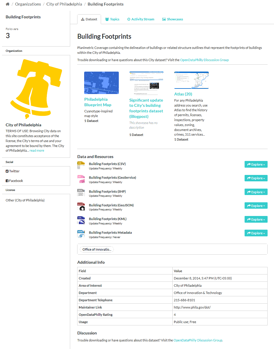
Search for building footprint at OpenDataPhilly. Search for “building footprint”. This is very similar to Task-2b (Obtain Philadelphia Land Use). Download the shapefile. Unzip the file.
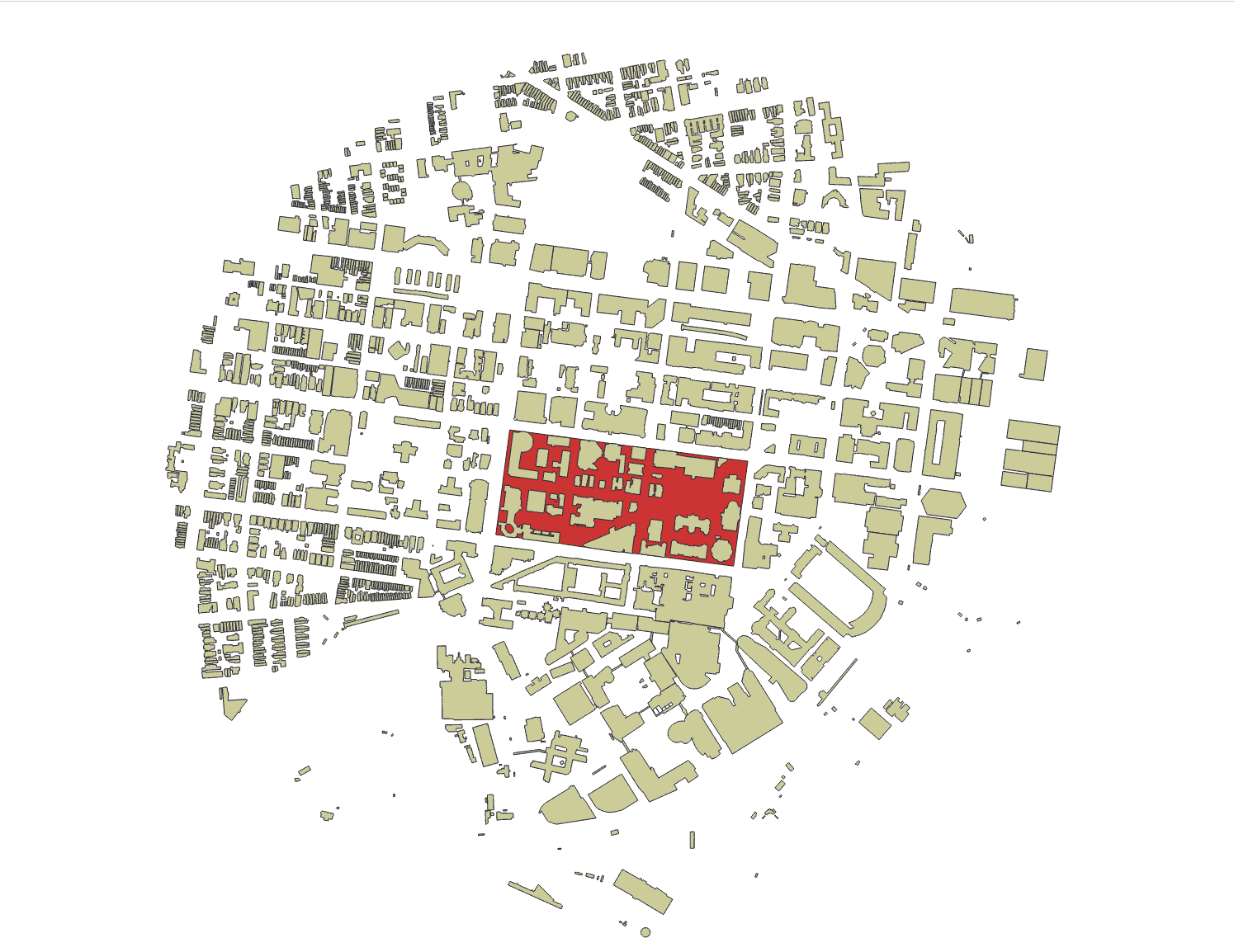
Import the shapefile into QGIS (Import Vector Layers into QGIS). Reproject the Shapefile into the right CRS (Reprojecting Files). Choose the Footprint of interest (”Land Use Map, Steps 1-5).
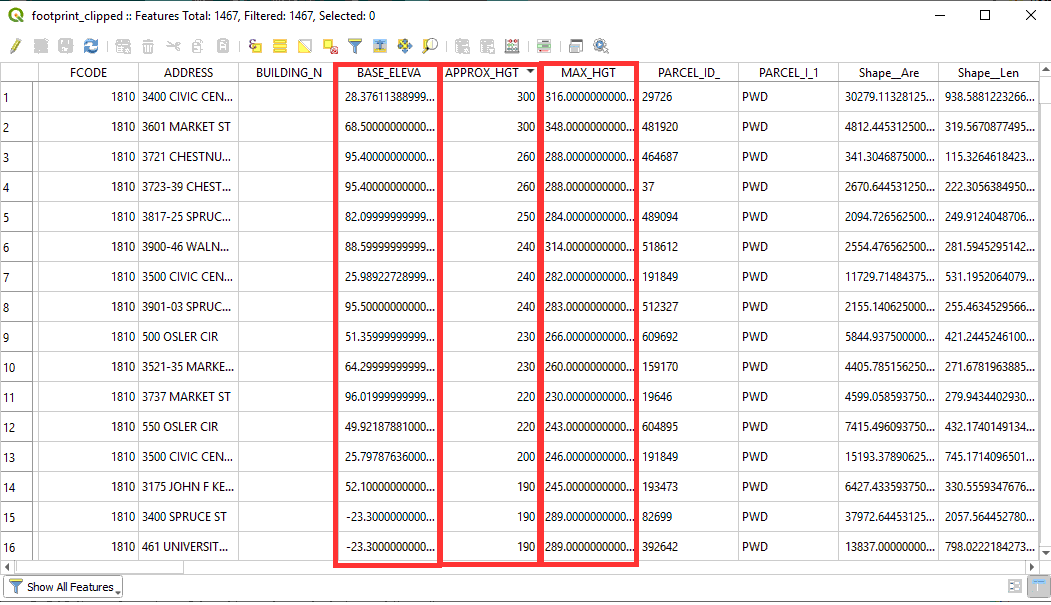
If we open the attribute table, we can see that we have the “BASE_ELEVA”, “APPROX_HGT” AND “MAX HGT”. With this three attributes this is enought to extrude the building footprint and create a 3D model of the area. However, most of the time you will not get such good quality data.