32. OSM-related Plugins and Functions#
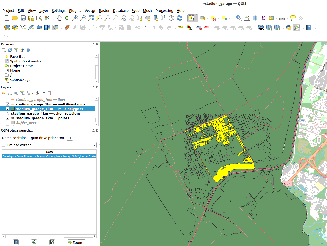
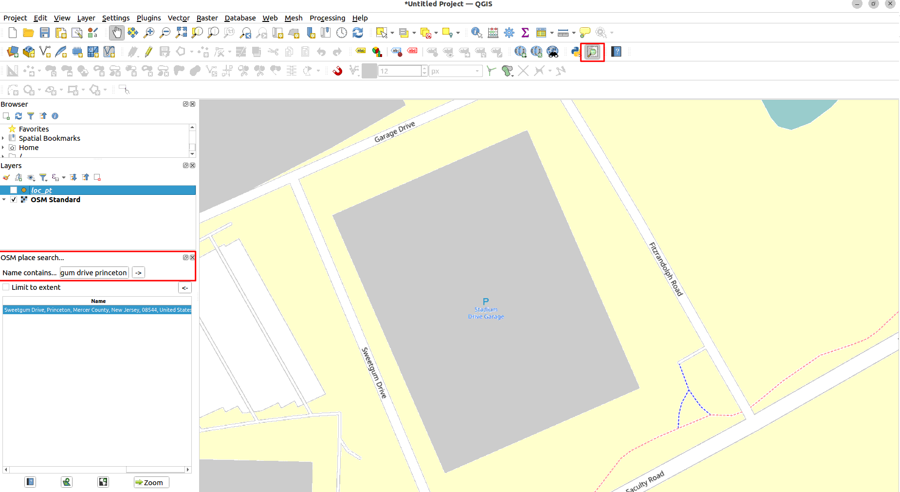
32.1. Install OSM Place Search for easy search#
Go to Plugins -> Manage and Install Plugins
In the window search for “osm place search”. Install the plugin
Now you will be able to see a magnifying glass icon at the top toolbar (the vector toolbar). It can be beside the python icon.
Once you click on it, it will open a search box on the left window where you can search for the location you want to zoom into.
32.2. Install OSM Download#
Go to Plugins -> Manage and Install Plugins
In the window search for “osmdownloader”. Install the plugin
Now you will be able to see a hand and rectangle icon at the top toolbar.
Once you click on it, choose the area of your interest and it will automatically grab the related data from OSM. Do not automatically load the layers into canvas. Do a manual import to control the visualization.

Import the osm layer into the file. Go to Layer -> Add Layer -> Add Vector Layer. Choose the OSM file. Import the data. The data will be imported as multiparts layer.
Remember to go to Vector -> Geometry Tools -> Multipart to Singleparts for each multiparts layer so that you can investigate the attributes.