2.1. Location Map#
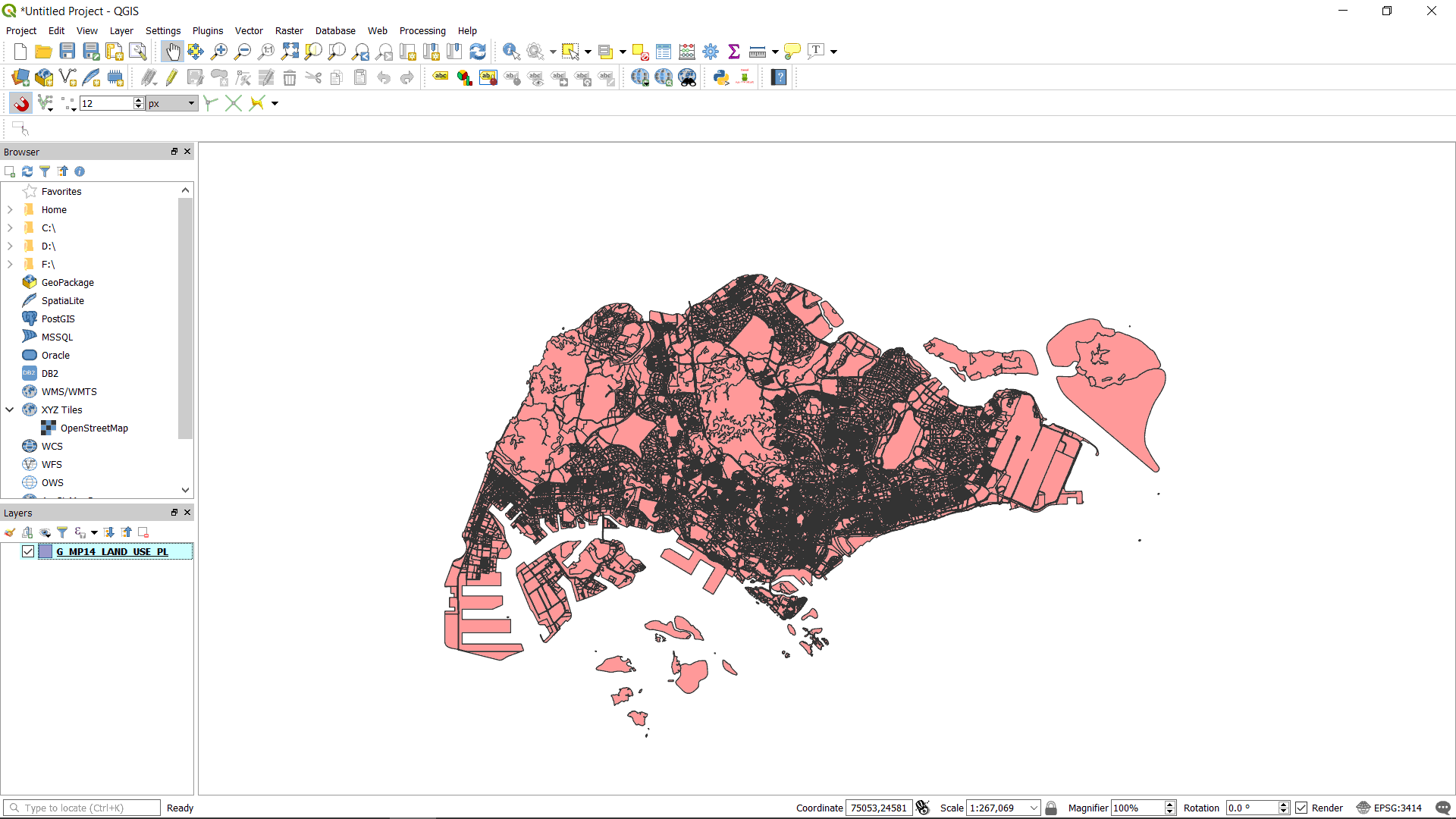
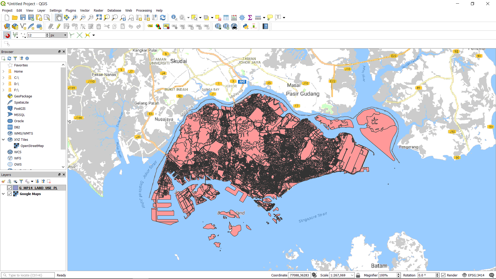
Search for open geospatial data of Singapore (Follow Singapore Master Plan). Then import the obtained shapefile into QGIS (Import Vector Layers into QGIS). Set it to the right Coordinate Reference System (CRS) (Setting CRS, GRS or PCS)
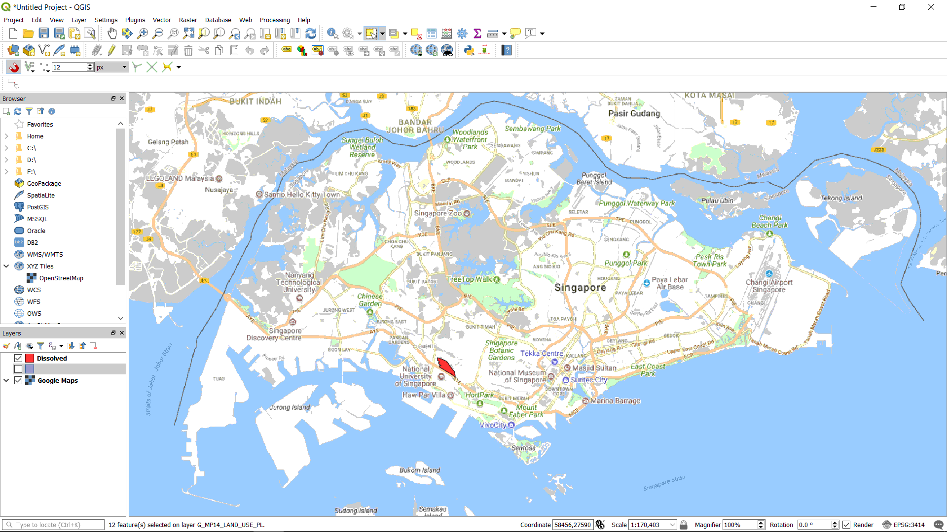
Load Google Map as base map (Loading Google Map as Base Map).
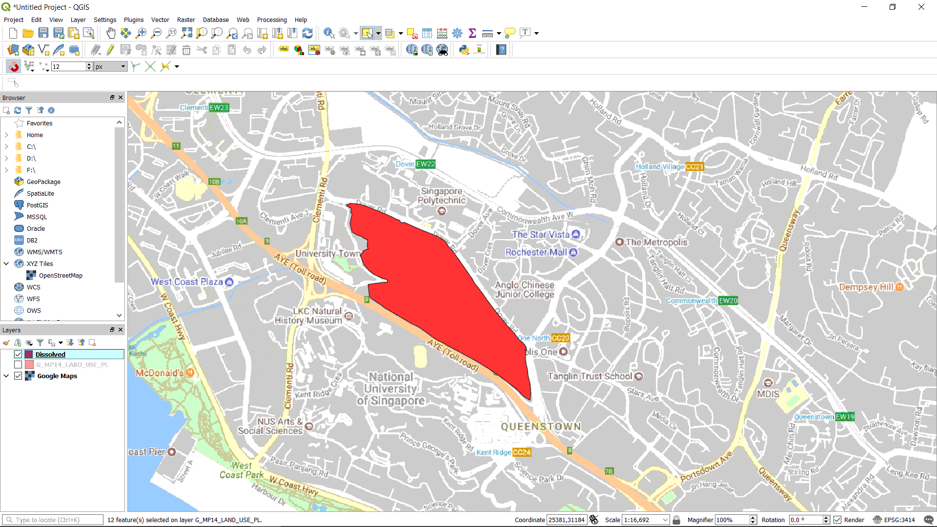
Zoom to the site of interest (Zoom to Specified Long/Lat with CoordTransform Plugin). As the site is made up of multiple plots from of the Masterplan, we need to merge all these plots together (Merge Multiple Features Using Dissolve). Then saved the merged plots into a new shapefile (Save a Feature Layer). You can then configure the visualisation of the map (Change the Colour and Opacity of a Polygon Feature Layer).
Zoom out and show where our site is. Then save the map (Export Map as Image).