10. Drawing in QGIS#
Go to Layer -> New Shapefile Layer … and specfy the directory to save the newly created shapefile.
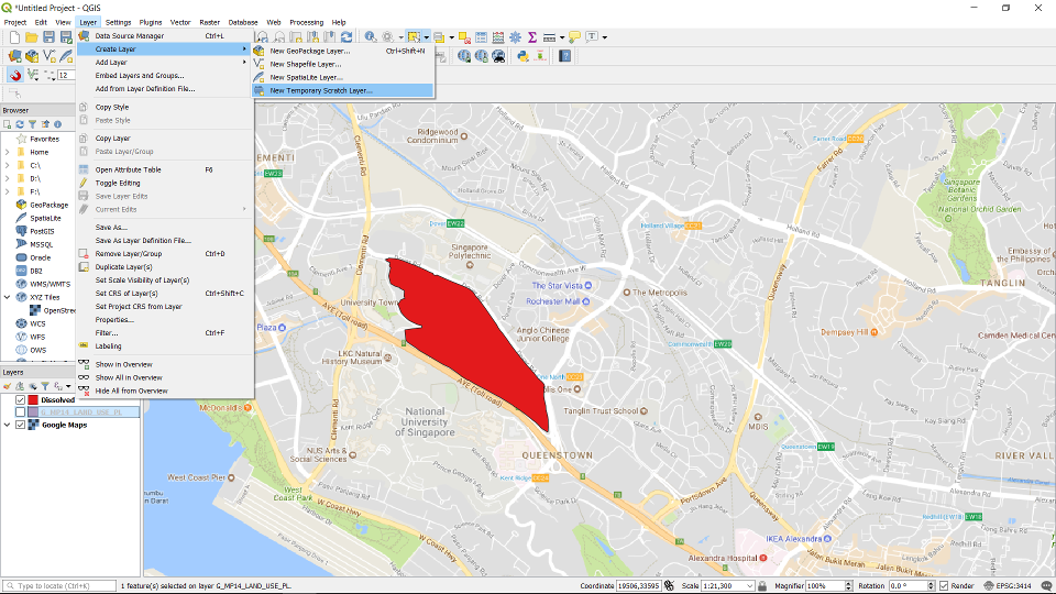
You can choose other types too, if you choose New Temprorary Scratch Layer … the layer will be temporary and will be lost once this QGIS session closes.
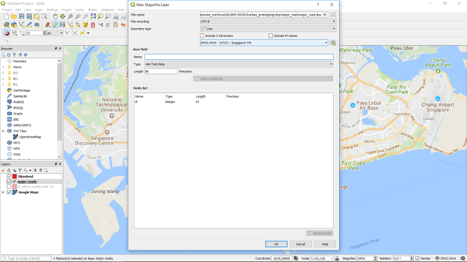
In the dialog box, specify the layer name and the geometry type of the layer. Specify the right CRS. Press OK.
The layer will appear in the layer window. To start editing the layer, click on the layer and click on the “toggle editing” icon.
Click on the add line/Polygon/Point feature icon. Depending on the geometry type of your Feature.
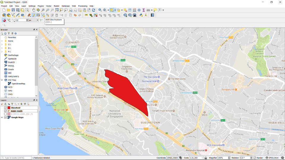
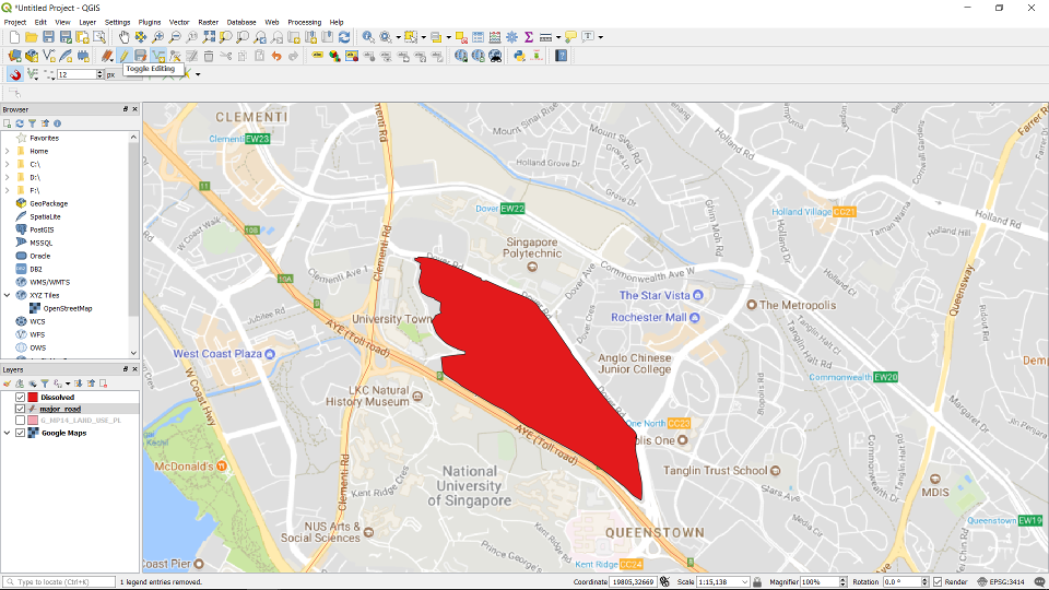
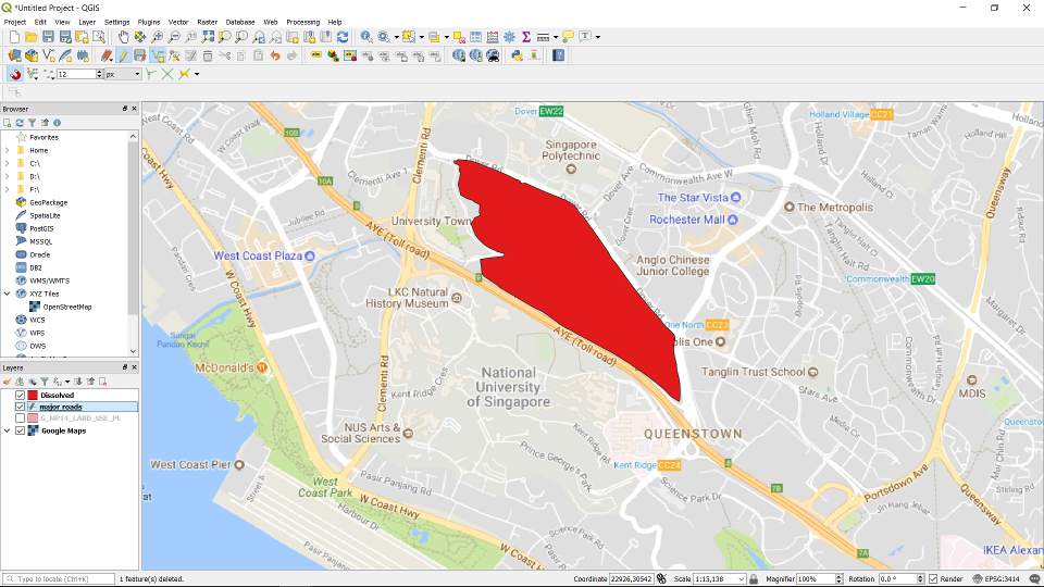
Trace the AYE toll road. Right click to finish drawing.
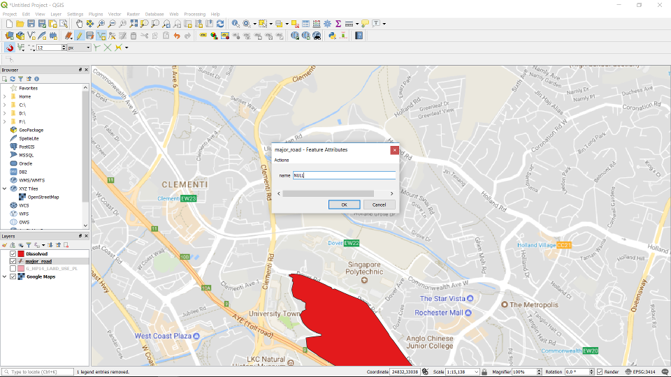
Fill in the attribute value of the drawn geometry and click OK.
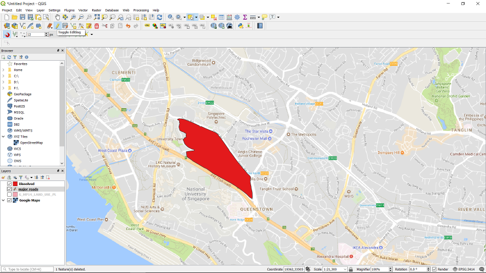
Un-toggle the “Toggle Editing” button to finish.