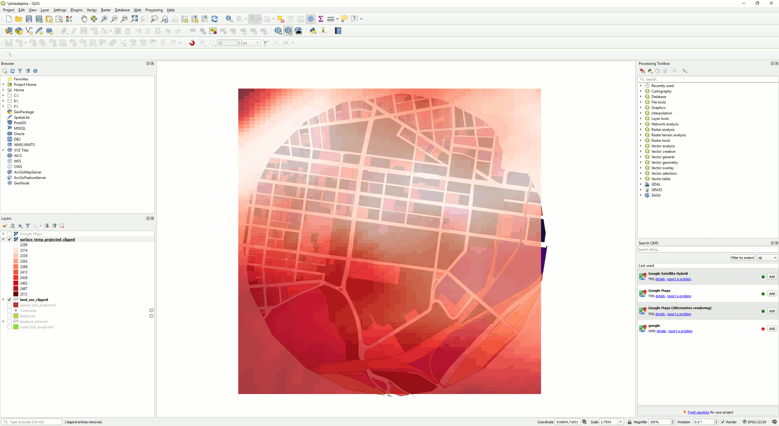
1.6. Import Surface Temperature Data into QGIS#
Import the xxx***_st.tif file into QGIS (Import Raster Layer).

Lets reproject the raster image to the right CRS (Reprojecting Files).
Clip the raster image to only show the our extent of interest (Clip Raster). Use the circle drawn in the exercise “Land Use Map” Step 15 to clip it.
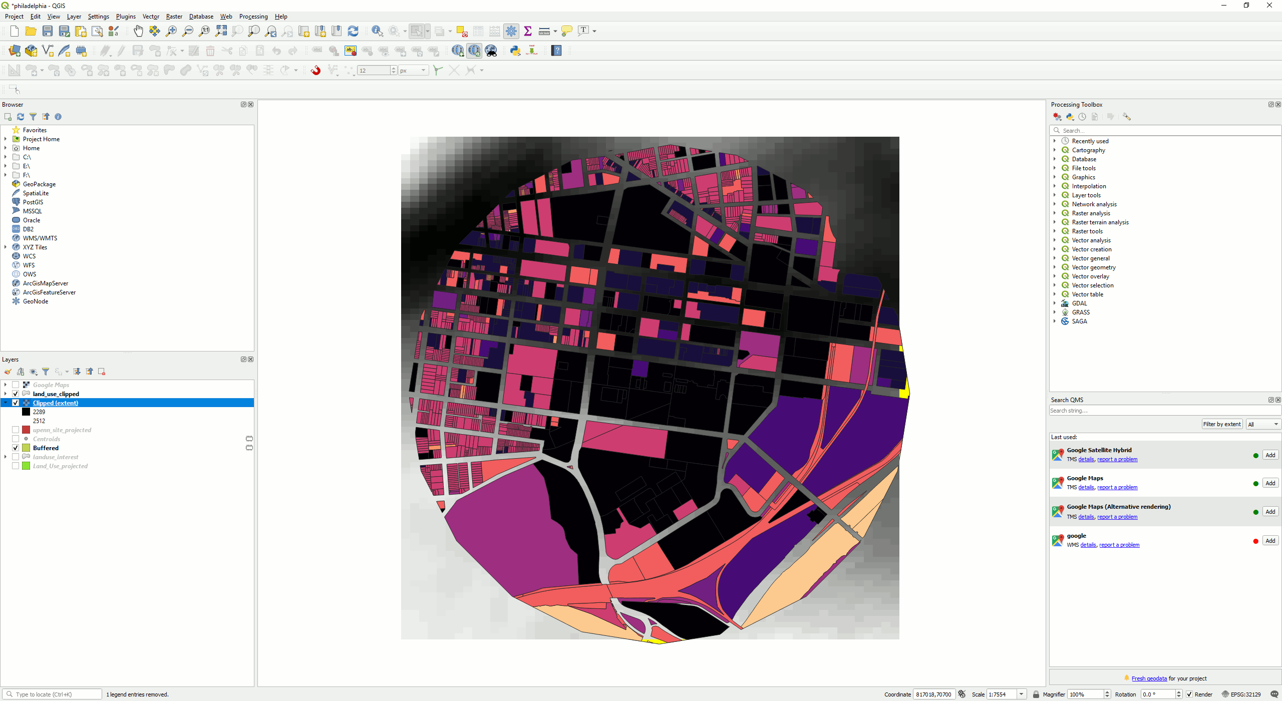
Export and save the clipped raster image (Save a Feature Layer). Adjust the transparency (Adjust Transparency of Google Map Layer), and change the rendering of the surface temperature layer for better visualisation (Categorise Raster Image Layer). Change the transparency (Adjust Transparency of Google Map Layer) to overlay the layer onto other layers.