2.3. Land Use Map#
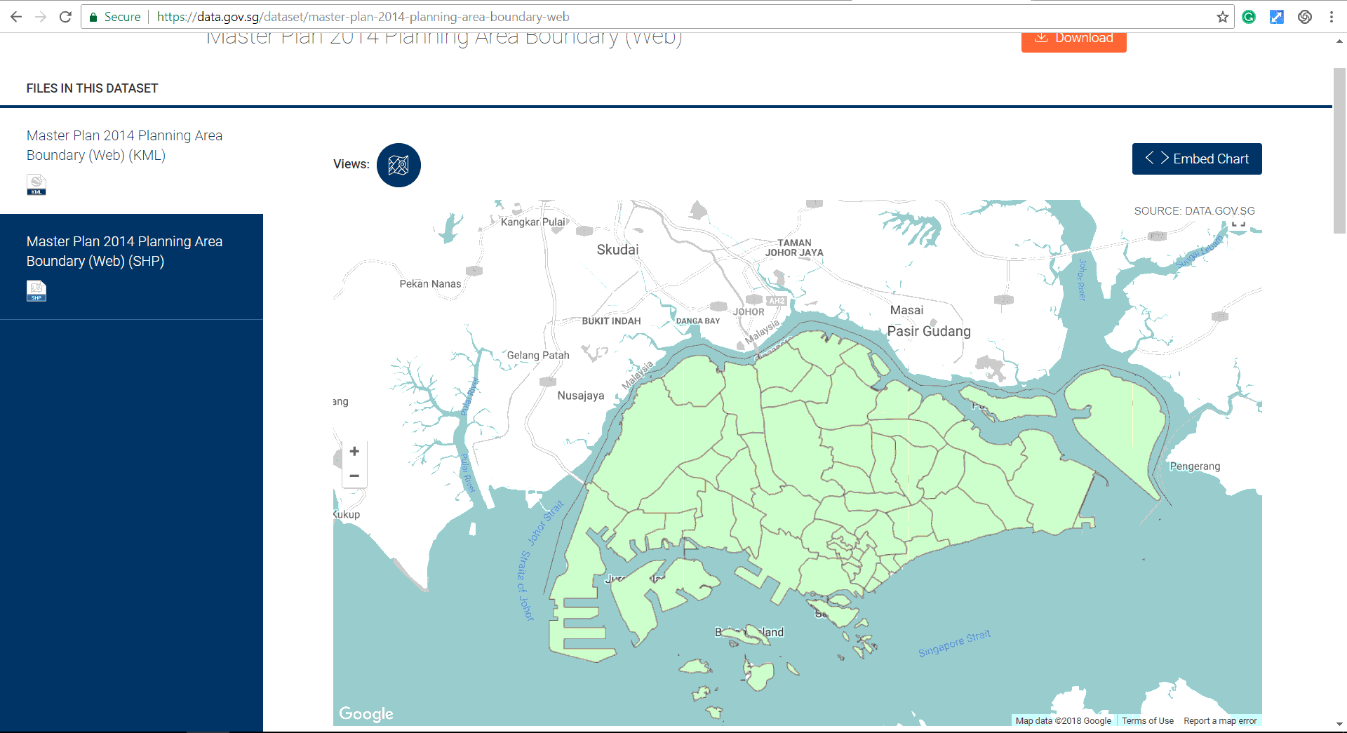
Download the “Master Plan 2014 Planning Area Boundary”. Refer to (Singapore Master Plan), instead of searching for the Master Plan, search for the planning area boundary. Import the map into QGIS.
Import the file into QGIS (Import Vector Layers into QGIS).

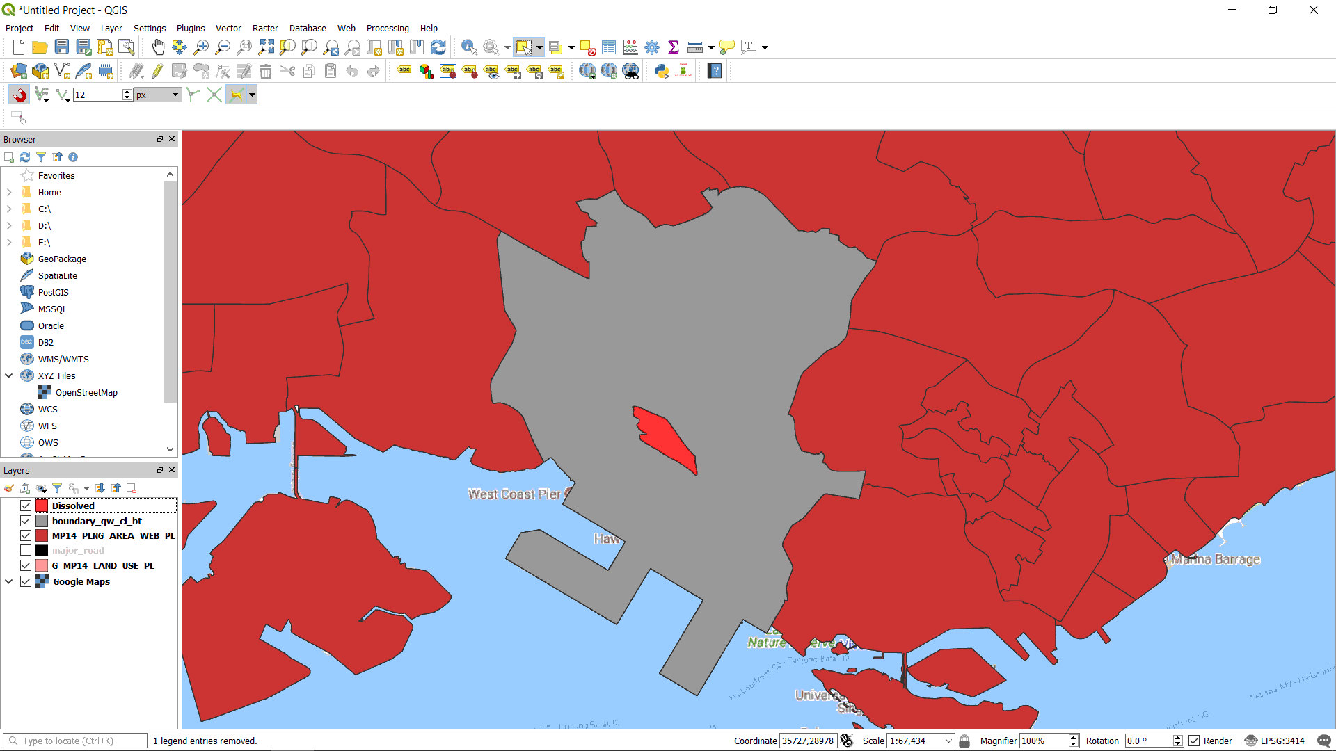
Choose the surrounding planning area polygons. Merge these polygons (Merge Multiple Features Using Dissolve). And save the merged file as a new Shapefile (Save a Feature Layer).
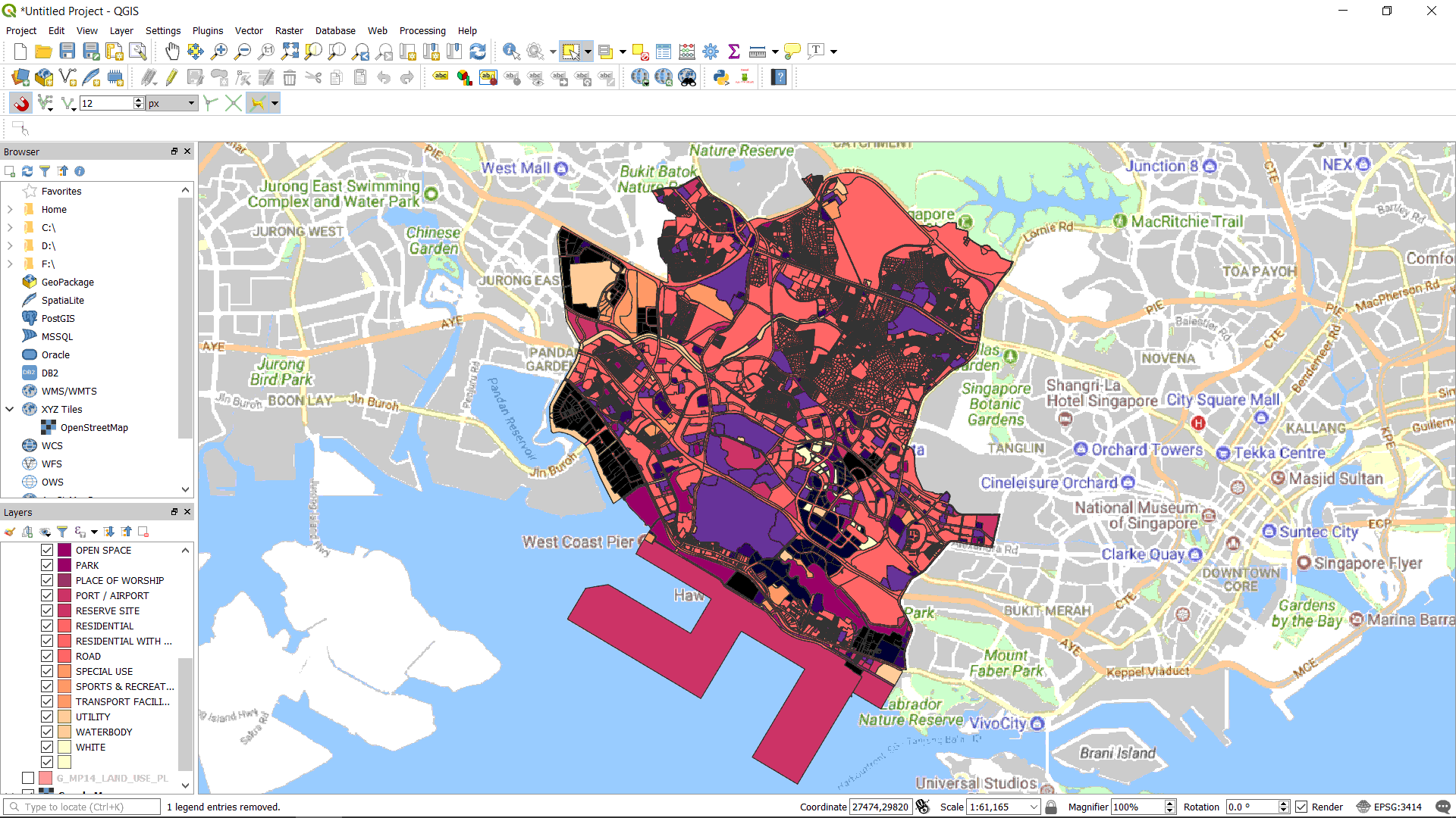
Load the Master Plan Land Use layer obtained in the Location Map chapter.
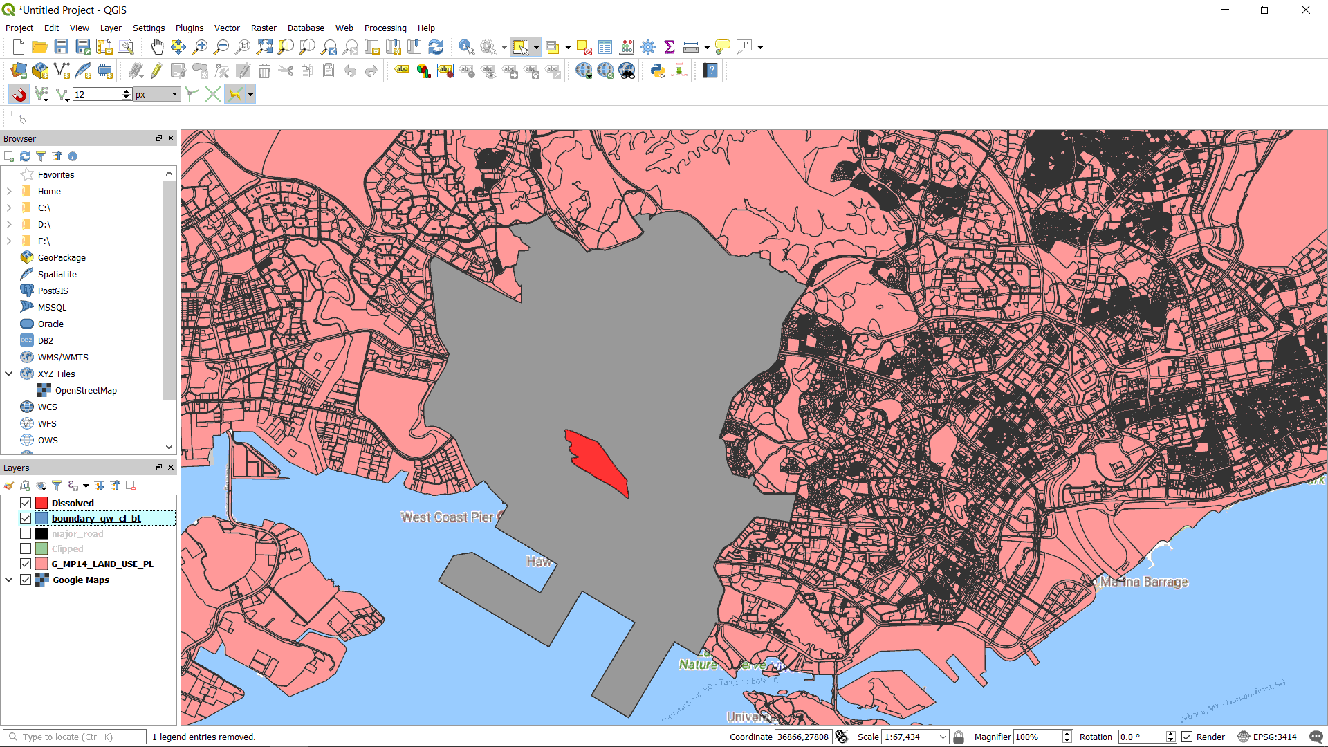
Using the merged boundary layer. Clipped the Master Plan Landuse layer (Vector Tools). As we are only interested in analysing the land use around our site.
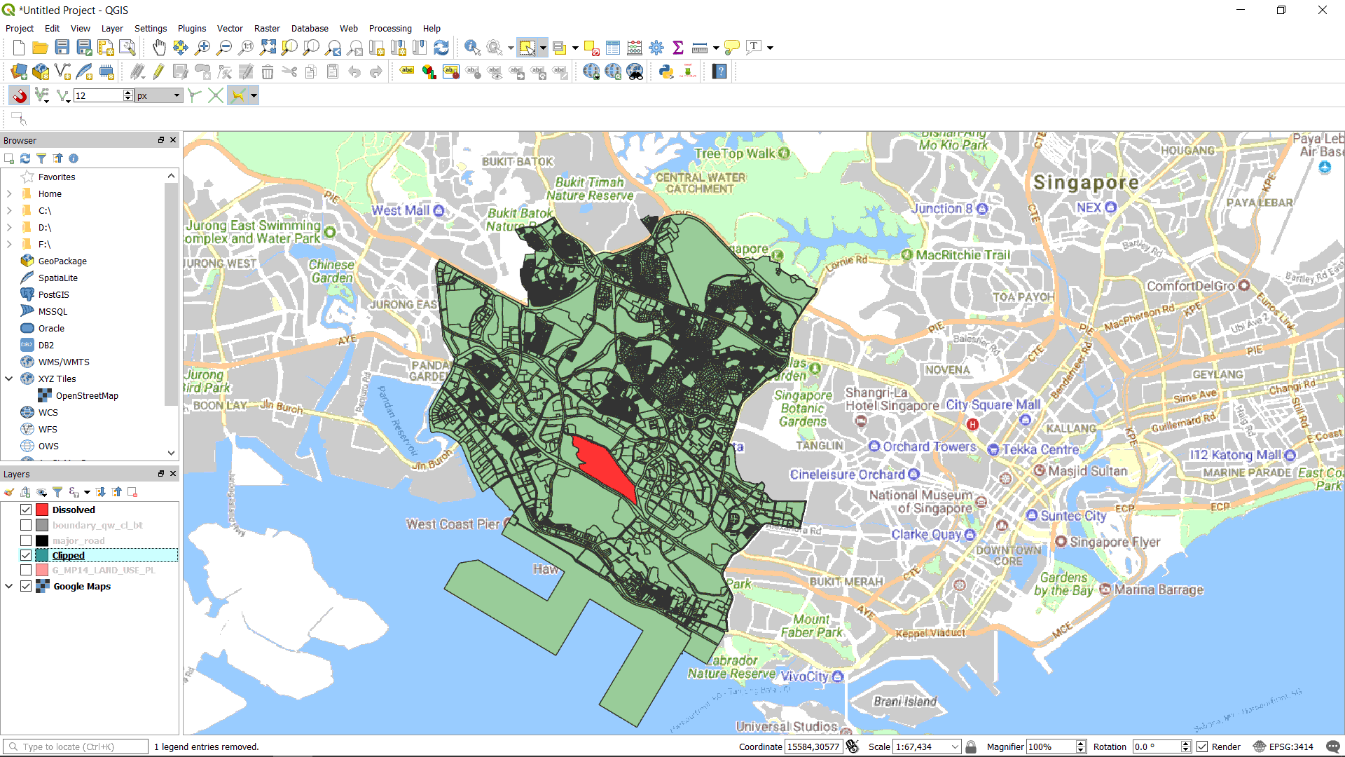
Using the merged boundary layer. Clipped the Master Plan Landuse layer (Vector Tools). As we are only interested in analysing the land use around our site.
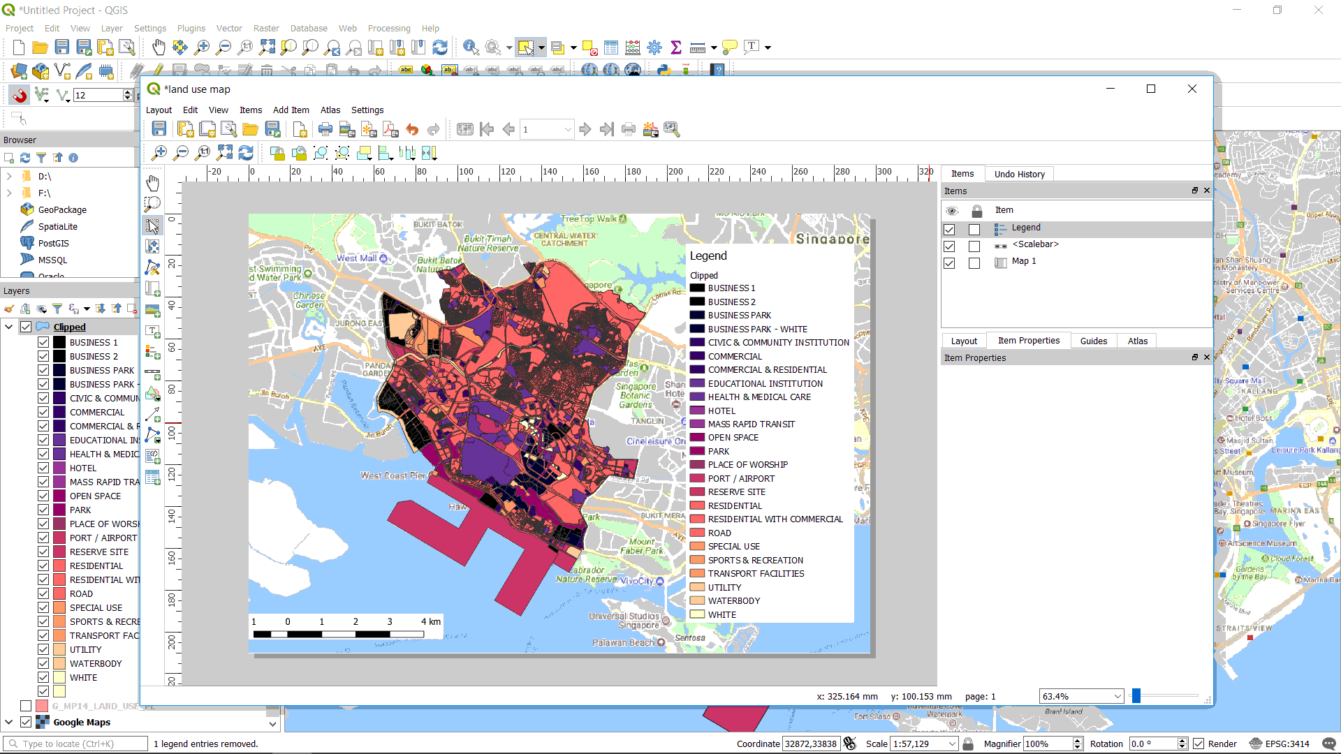
Compose the map with layout manager and export it as an image (Layout Manager).