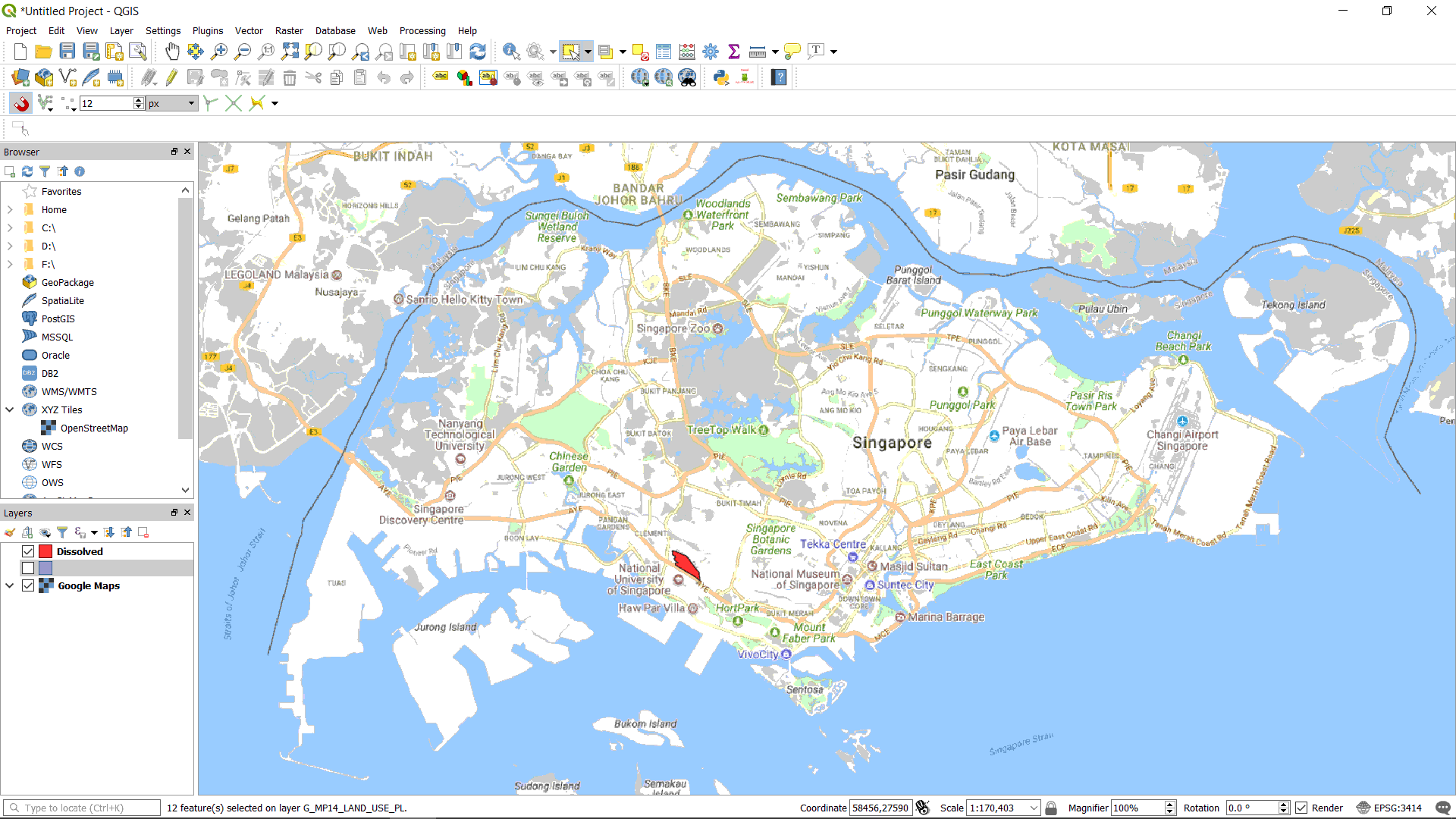
2.2. Site Map#
Refer to the previous section Location Map, this chapter is a continuation of the previous section.
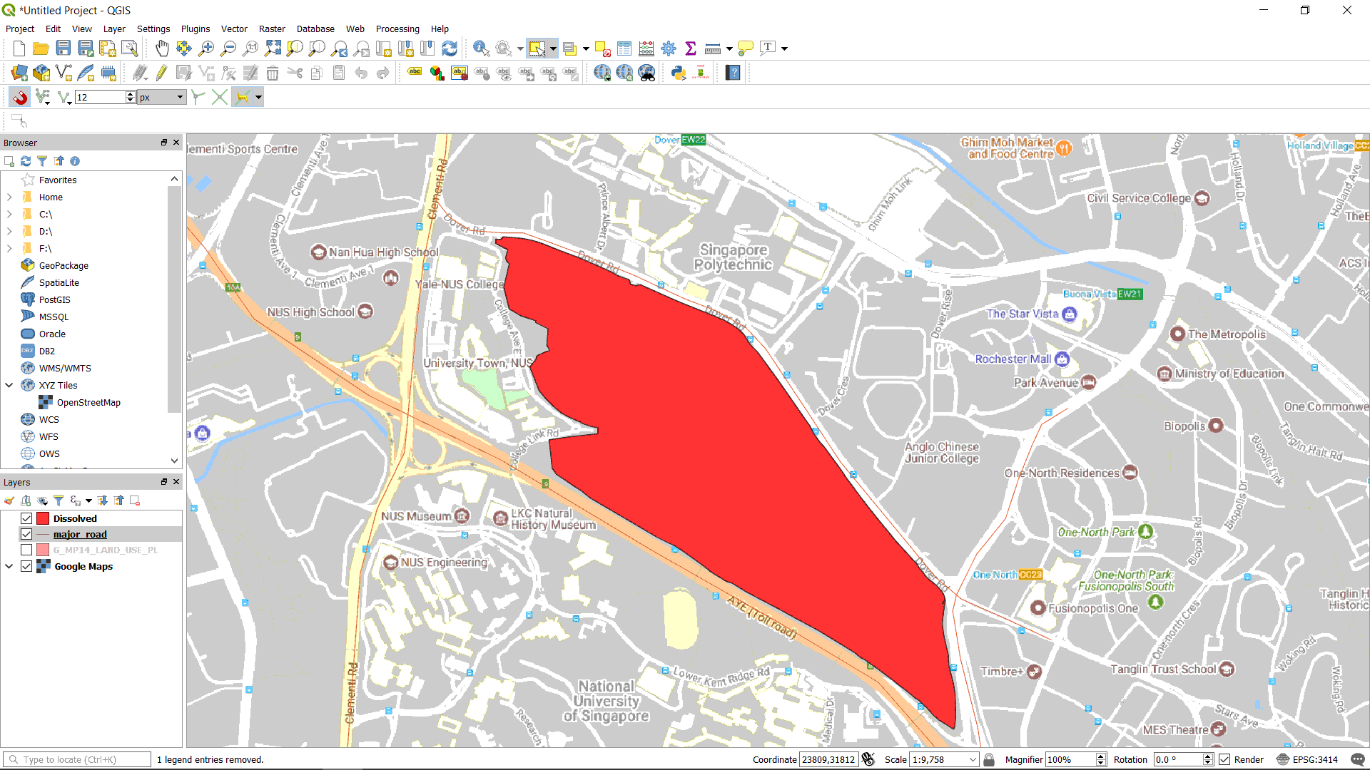
Zoom into the site again. Mark out the major roads and label them for the site map. Draw and trace the major roads around the site (Drawing in QGIS), adjust your snapping options as accordingly (Turn on Snapping). Create an attribute called “name” and fill in the road name when tracing the roads (Create Attribute).
Increase the width of the polylines and visualise them as roads (Change the Fill of a Polyline Feature).
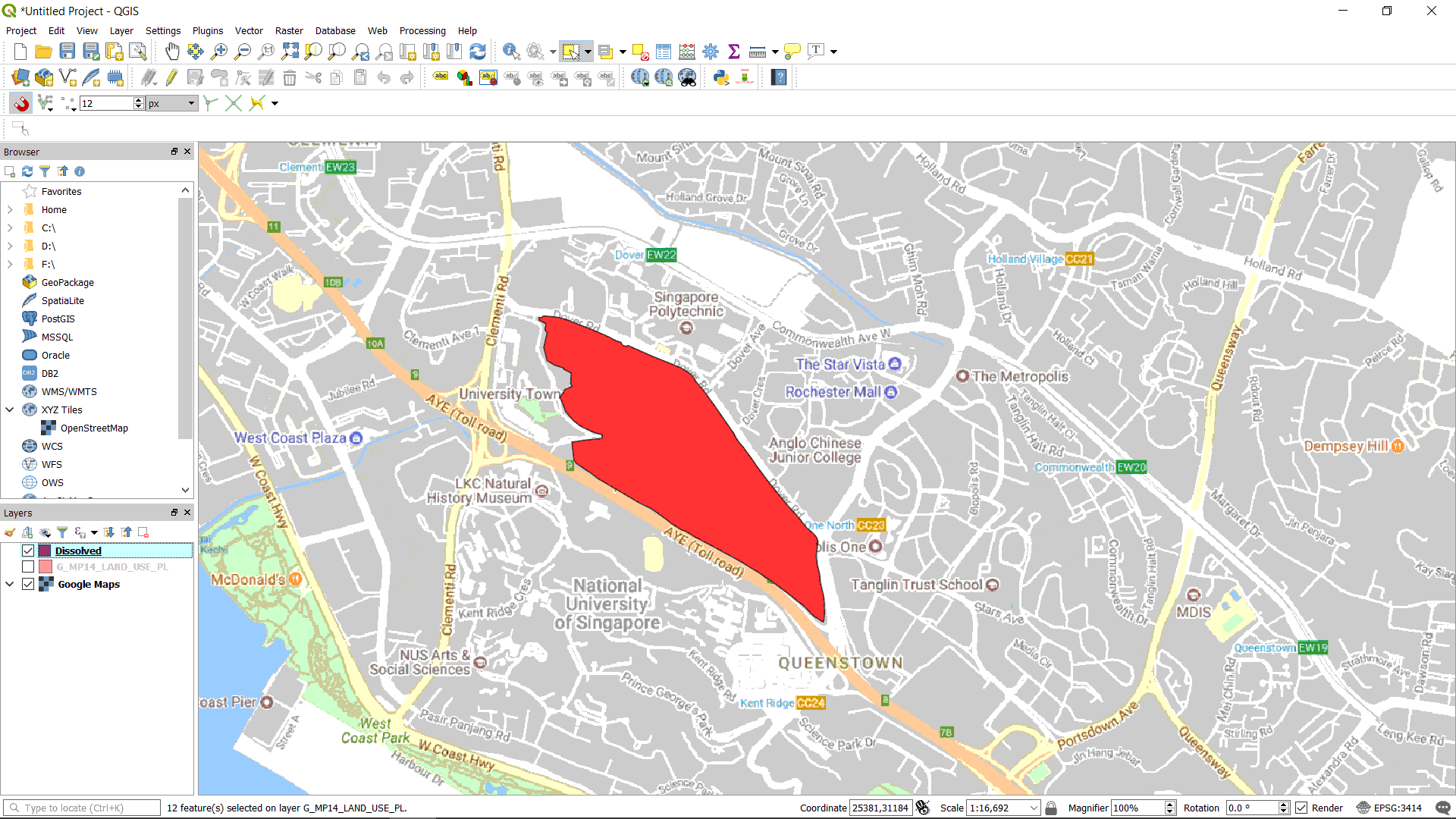
Label the roads (Label Features). Export the map (Export Map as Image).