1.7. Search for Digital Elevation Model (DEM) - Topography of the Site#
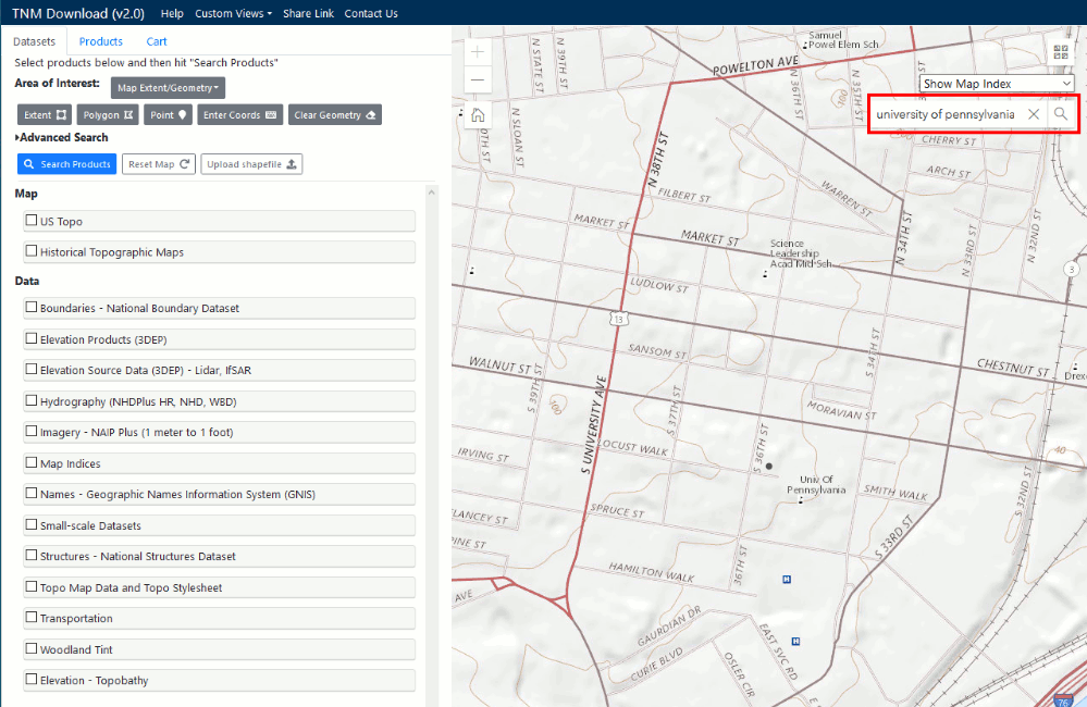
Go to nationalmap, in the search bar at the map view search for “university of pennsylvania”.
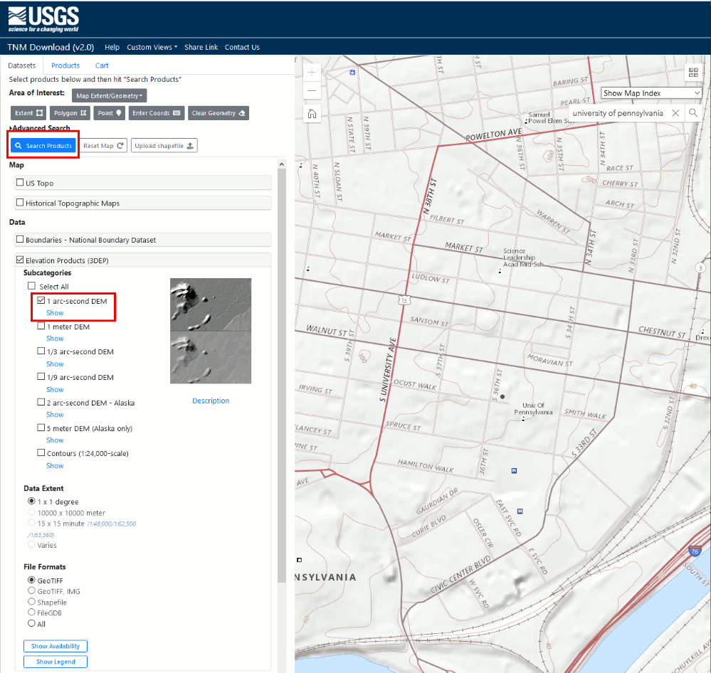
In the Datasets window, go to Elevation Products (3DEP) -> 1 arc-second DEM -> GeoTIFF. Click on “Search Products”
a. 1 arc second (approximately 30 meters), 1/3 arc second (approximately 10 meters), and 1/9 arc second (approximately 3 meters) read more about it here.
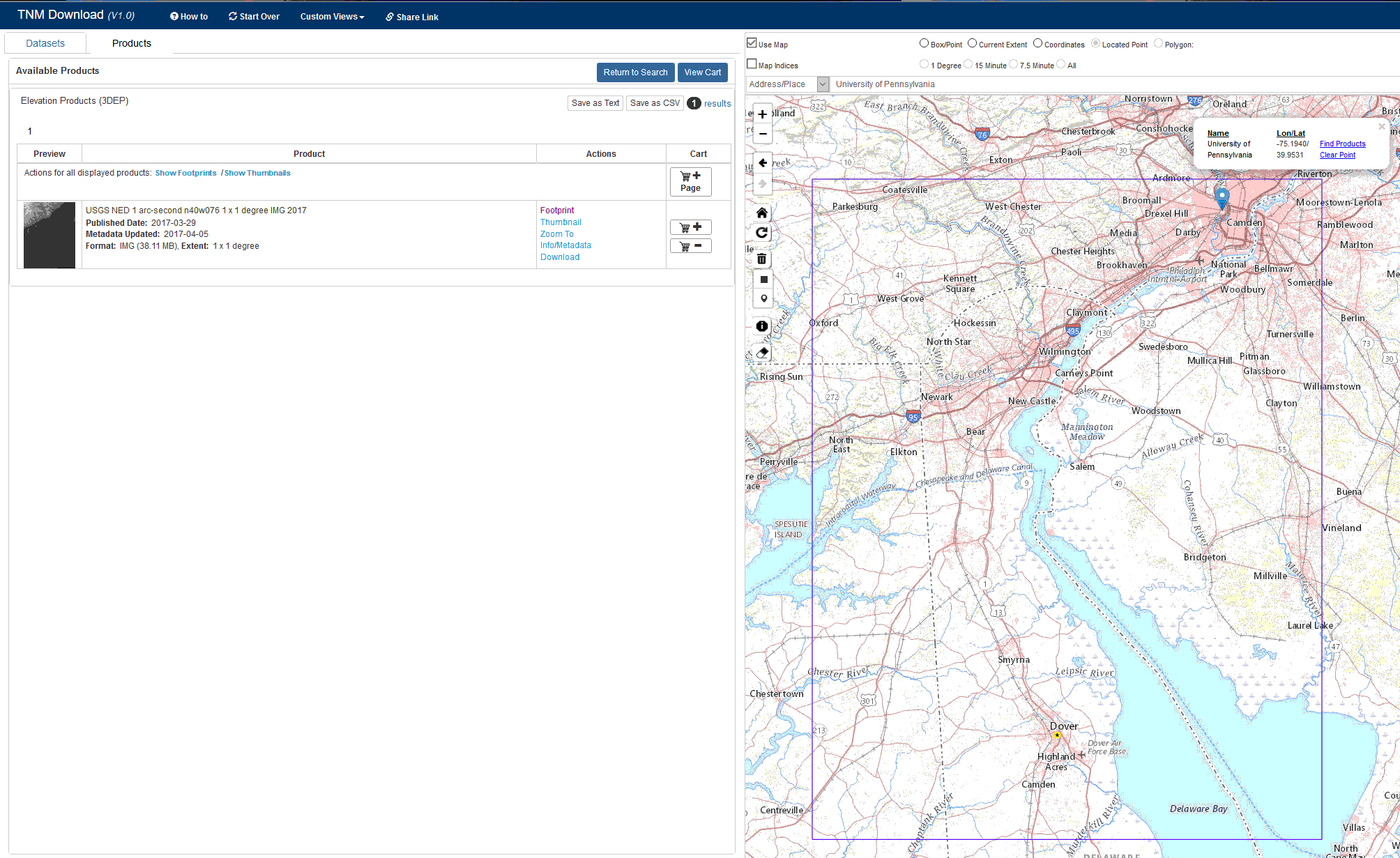
You can see the results here. Click on Footprint and you can see the extent of the data. Download the data.
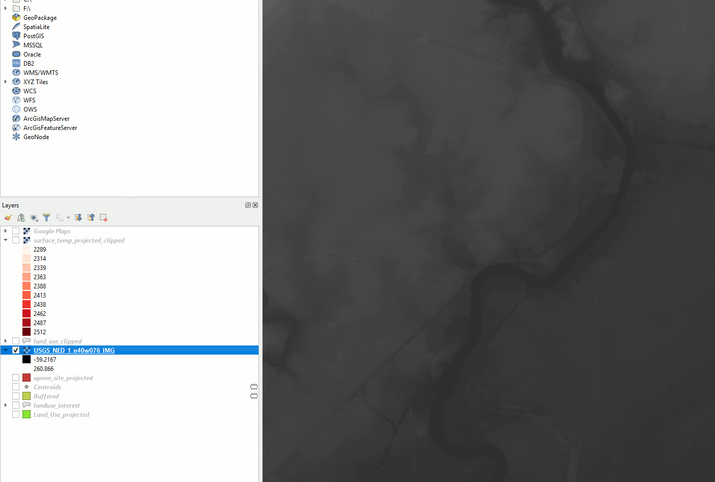
Import the .tif file into QGIS (Import Raster Layer).
Lets reproject the raster image to the right CRS. Follow the steps in the exercise “Projecting the Maps: From Lat/Lon to Metres” Step 1-6.
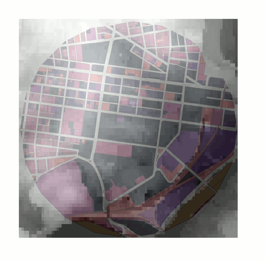
Clip the raster image to only show the our extent of interest (Clip Raster). Use the circle drawn in the exercise “Land Use Map” Step 15 to clip it.