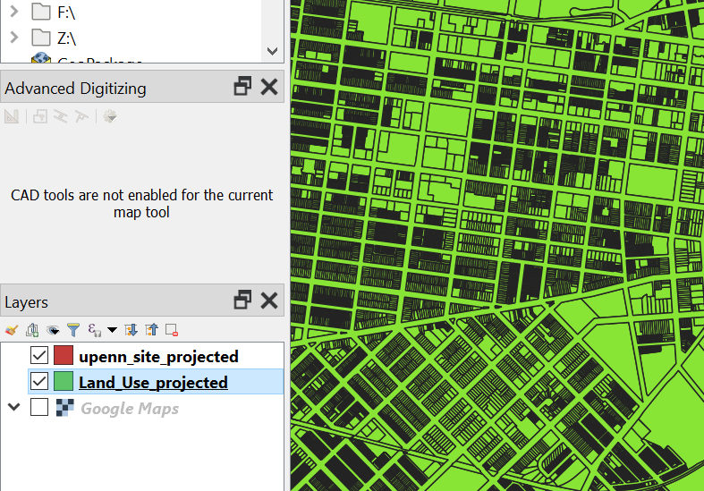
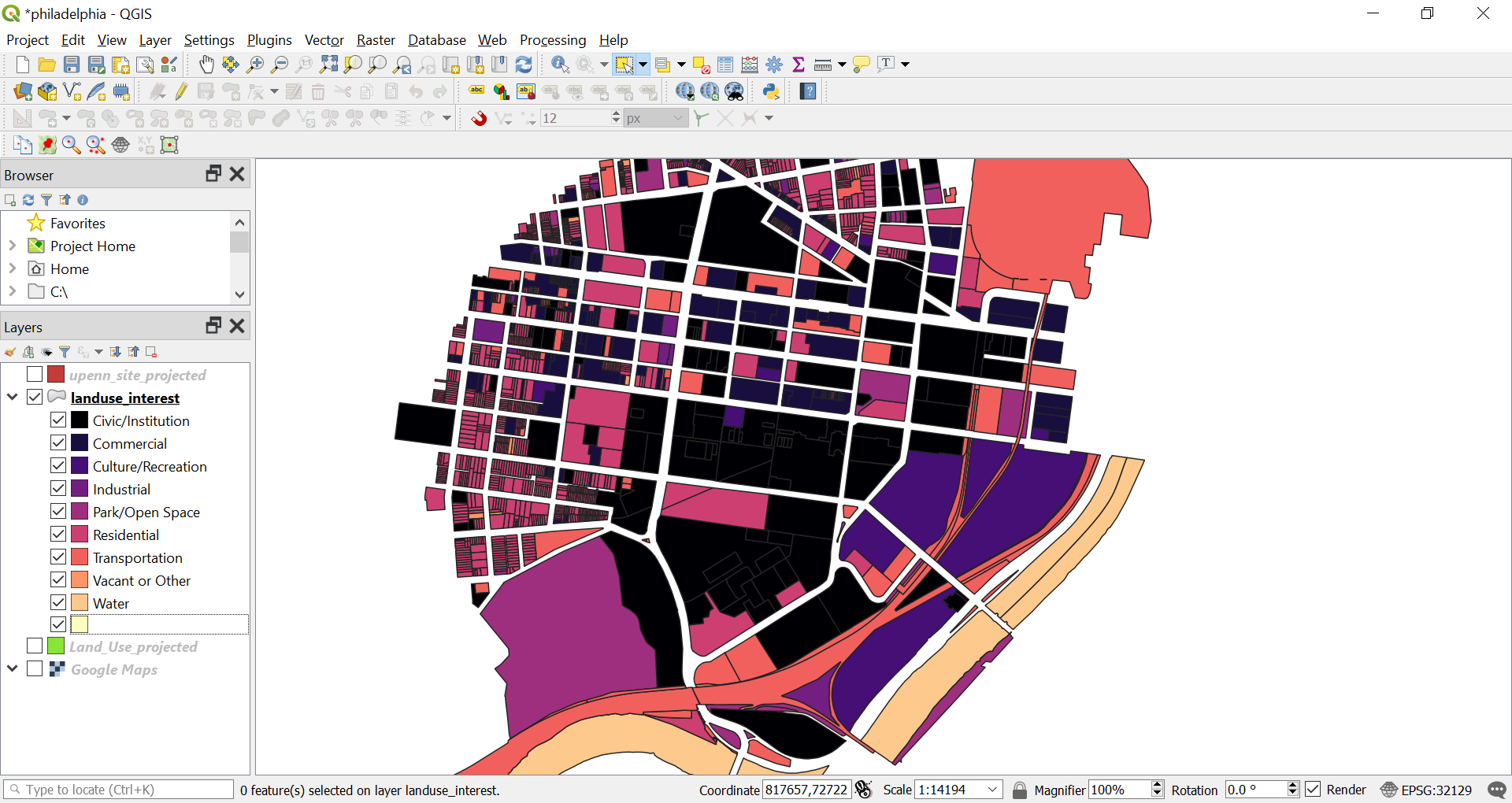
1.3. Land Use Map#
In this exercise we will manipulate the Land Use layer to get a Land Use map around our site.
Click on the Land Use layer to make sure it is the active layer.
We will select and export only the land parcels around our site. Choose the “Select Features by Radius”.
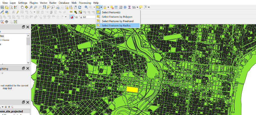
Click on the centre of our plot and enter 1000m radius. Press enter and the features will be selected.
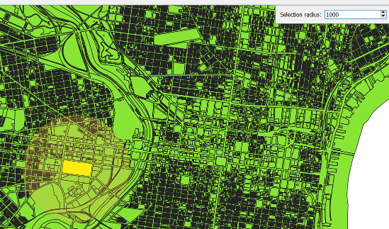
All the features of the layers within that radius will be chosen.
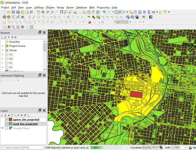
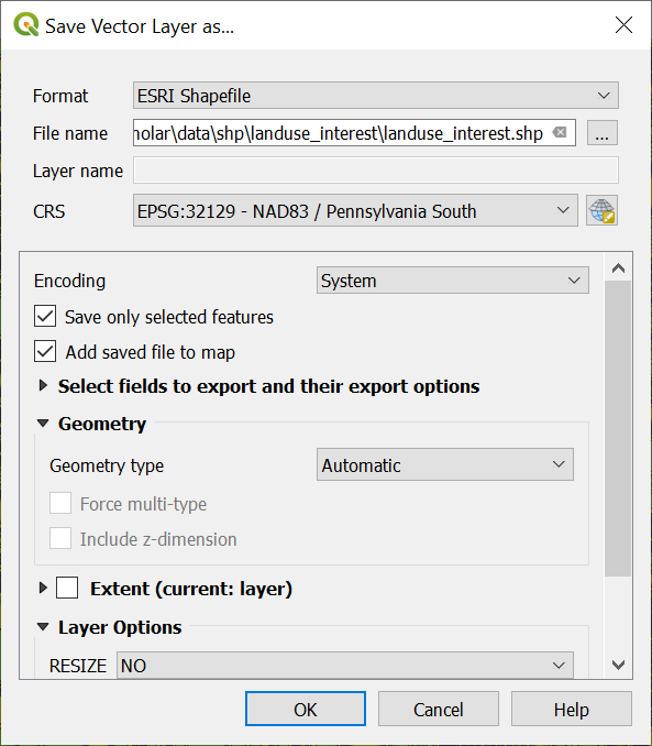
Export the selected features into a separate layer (Save a Feature Layer). Make sure you tick the “Save only selected features” parameter. It will take some time as it is a big file.
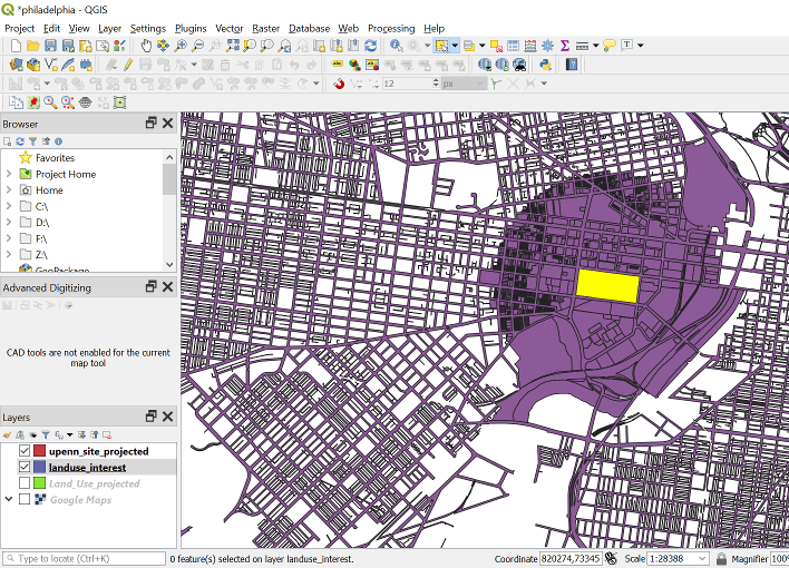
Once processed we can see the layer. Turn off the “Land_Use_projected” layer.
Click on the “Select Feature(s)” function.
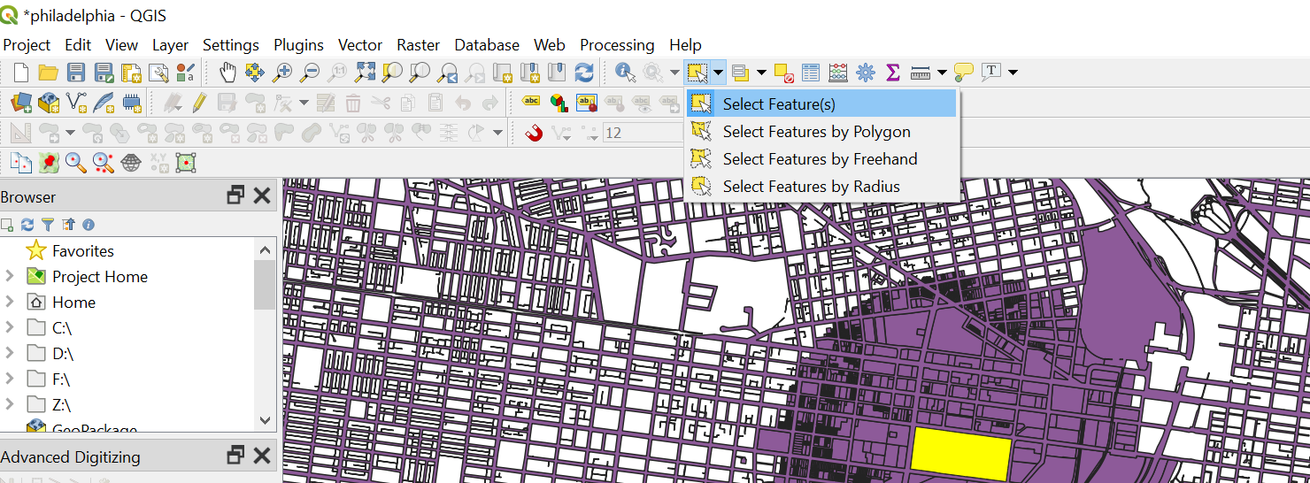
Choose the roads on the view screen. We can see that the whole road network of Philly is drawn as a single shape. It is very big and we do not need the road network for the Land Use map. Let’s delete the road network from the layer.
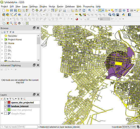
Click on Landuse_interest layer to make it the active layer. Click on the “Toggle Editing”.
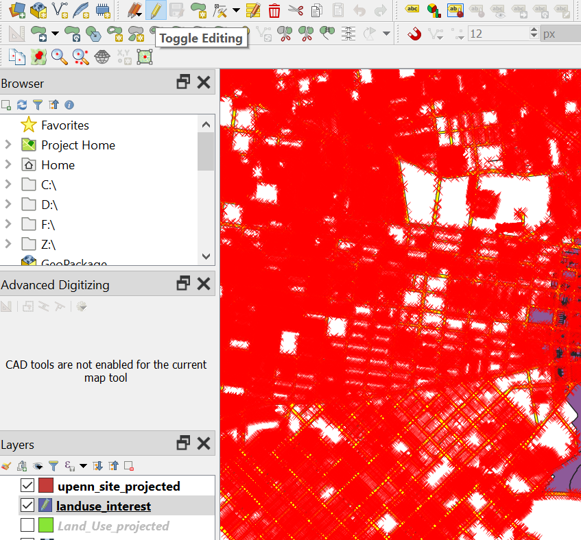
Select the road network shape and press delete.
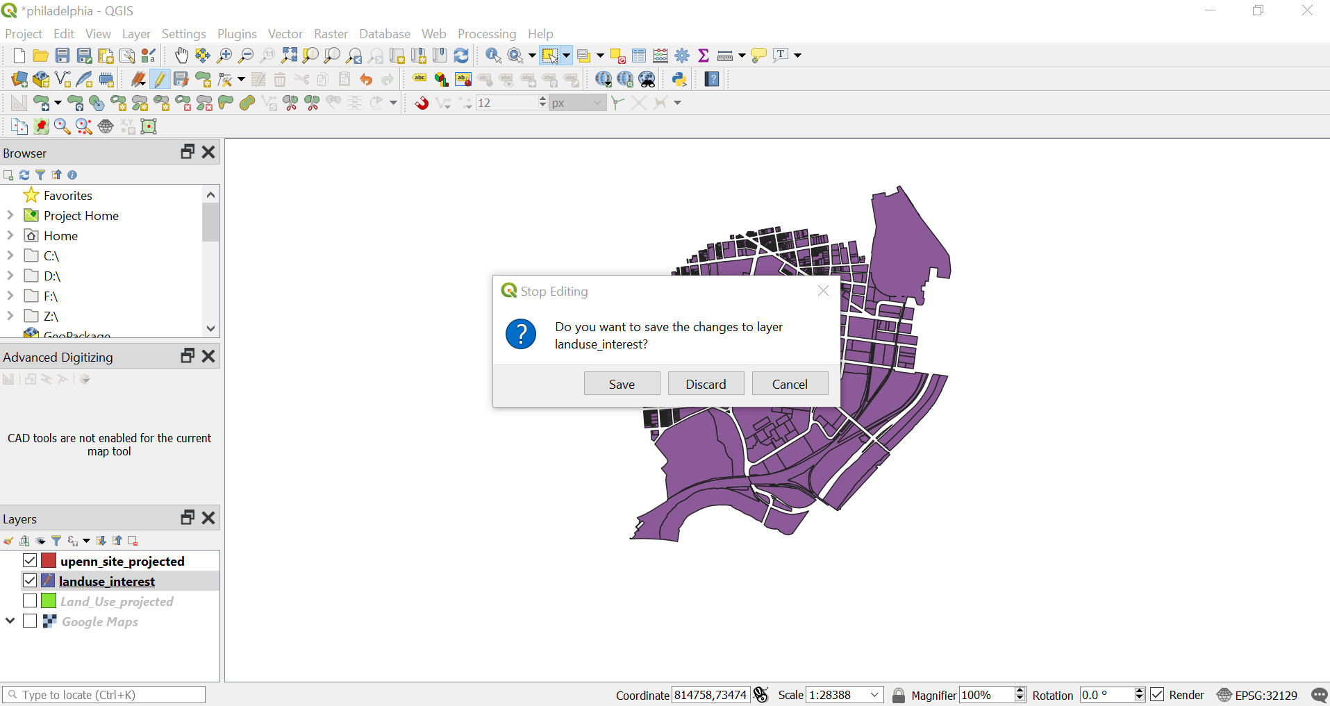
Click on “Toggle Editing” and a prompt will pop up asking you to save the change. Click on the “Save” button.
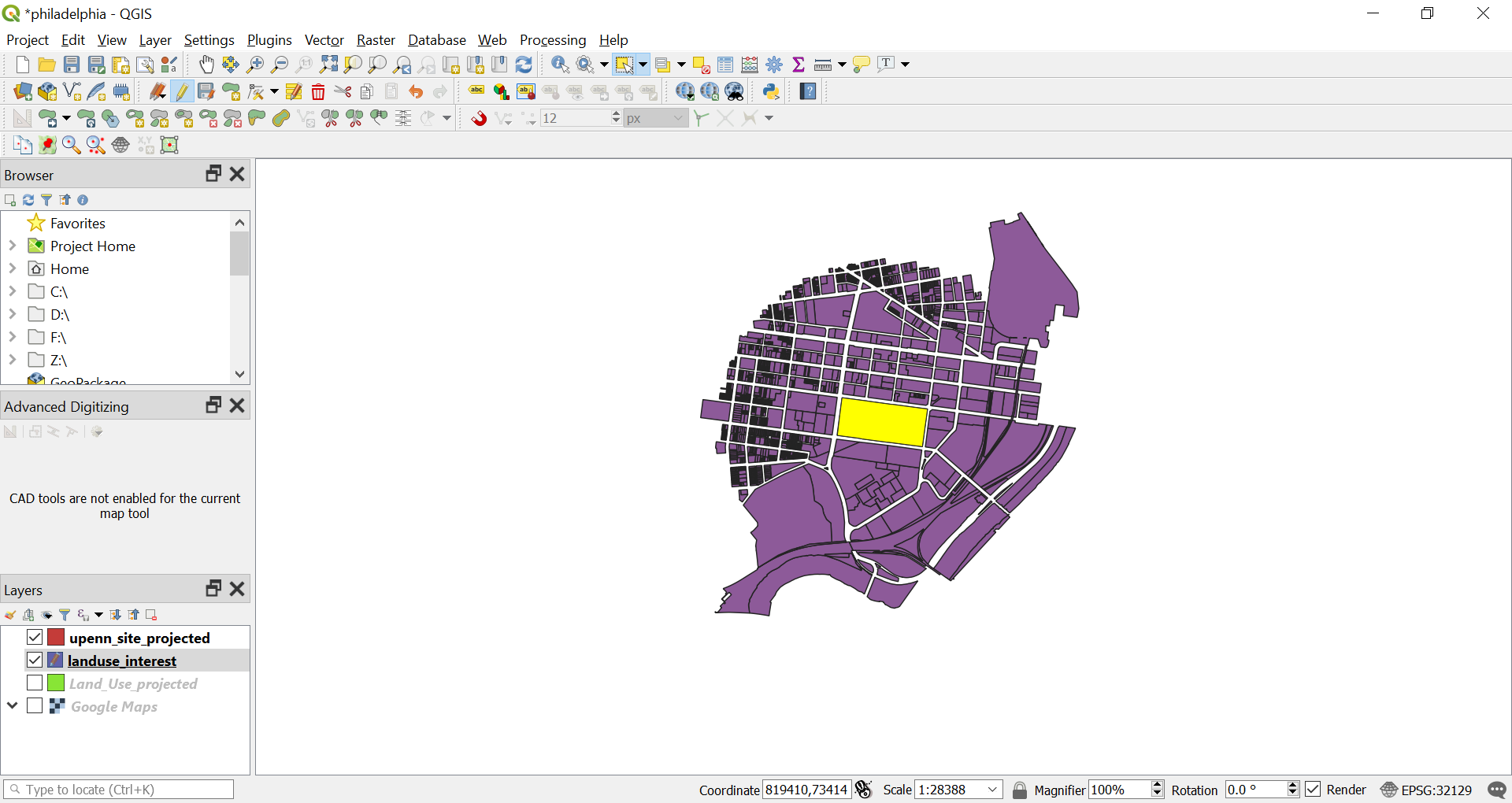
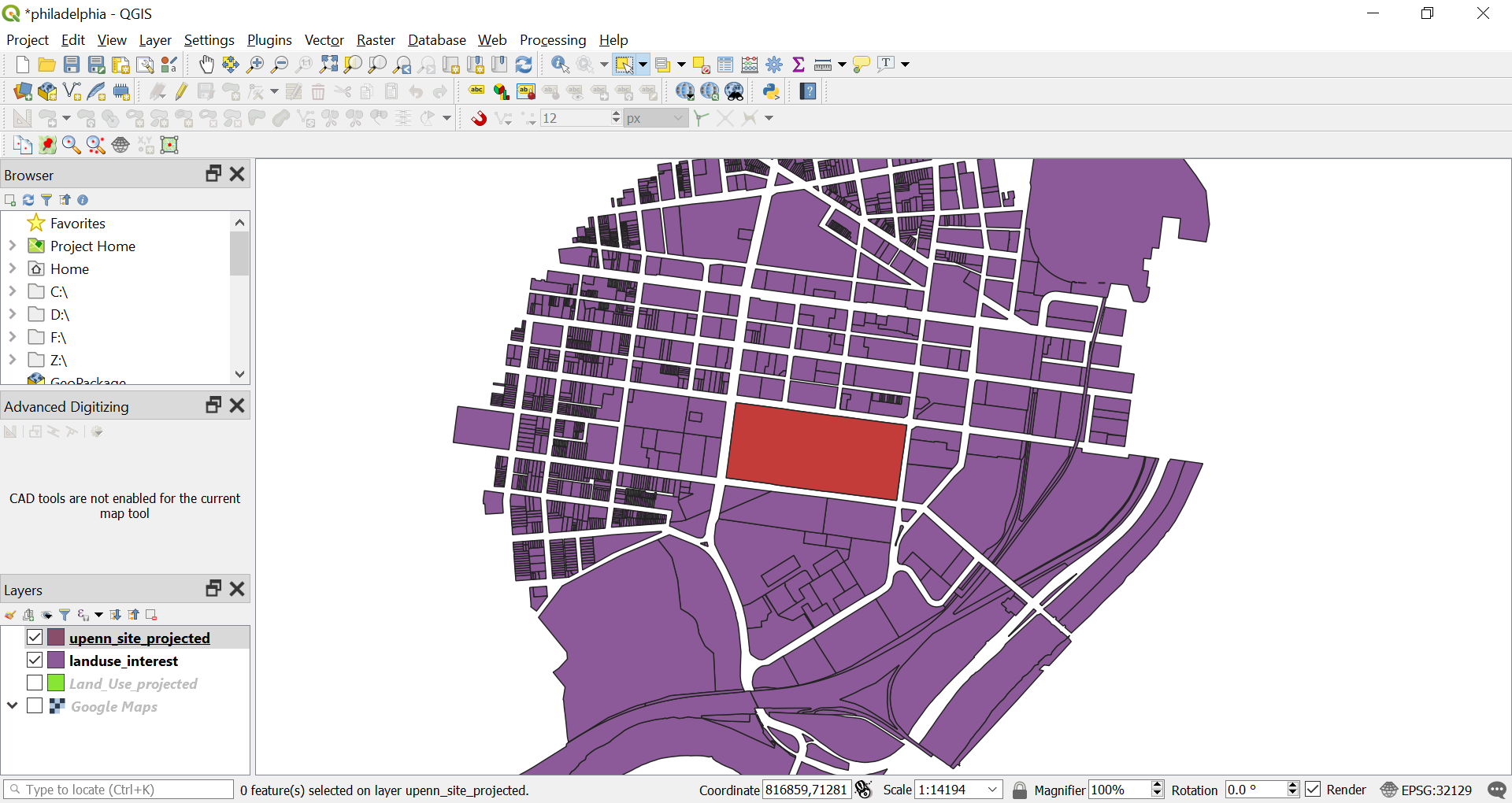
We will have all the land use shape around the site.
Now we can categorise the map (Categorise Polygon Feature Layer).
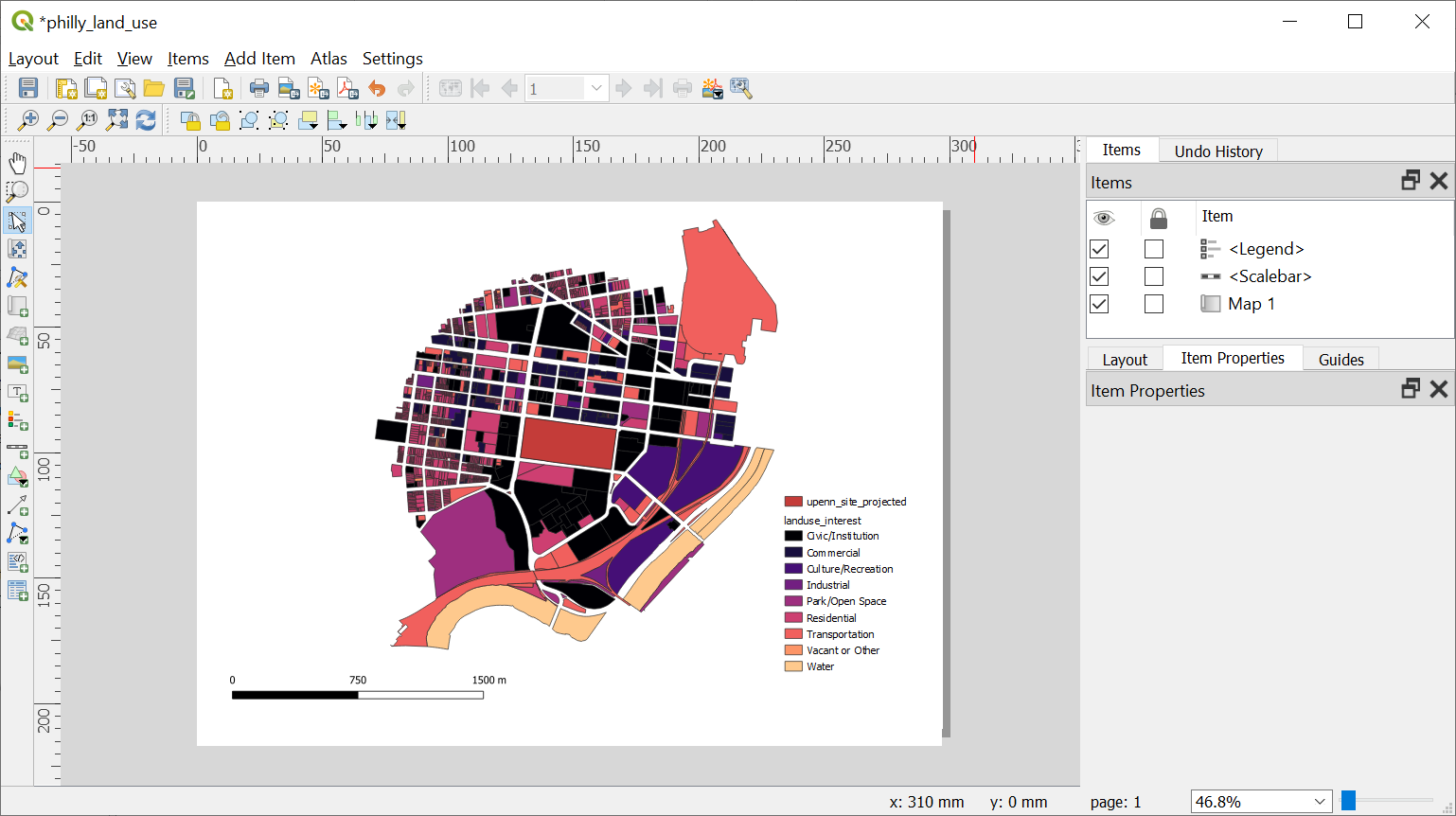
You can then compose the map with layout manager (Layout Manager) and export it as an image.
For a more precise map of strictly 800m radius from the site. We can clip the shapes. First, calculate the centroid of our site (Calculate Centroid). Then using the centroid draw a circle (Draw a Circle/Square with Buffer). Using the circle drawn clip the Land Use layer (Vector Tools). If the Clip operation fails, go to (Turn off Invalid Features Filtering Option for the Clip Operation) and turn off The result of the clip is shown below. Repeat step 13 to 14 to get the Landuse map.
